
The Nile: a river and its basin have different scales
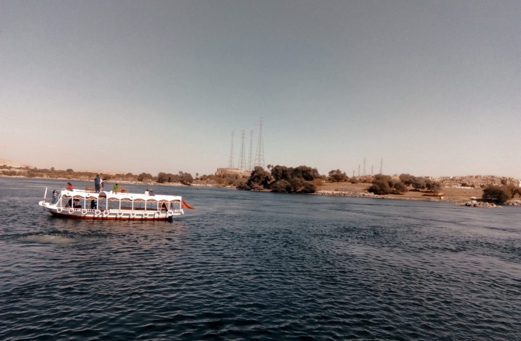
A river photograph can be a useful introduction while showing only a small section. A basin map helps place that section in a larger relationship.
Gediz Delta: explore a mosaic of wetland conditions
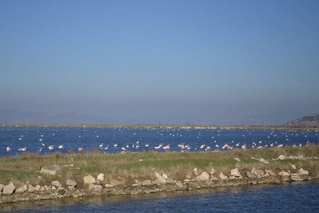
A wetland used by flamingos includes more than the place where a flock is visible. Water and salinity create different surroundings within the wider area.
The Iraqi marshes: nature and cultural heritage together
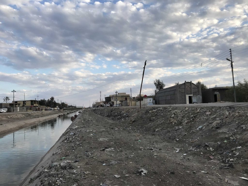
A marsh landscape can connect environmental questions with the history of settlements. A single image does not capture all these values.
River deltas: read water and land together
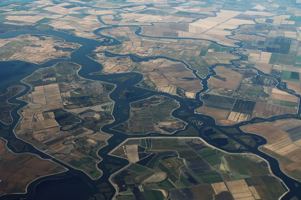
A delta changes through relationships between water, land and use. One beautiful or damaged-looking image is an incomplete explanation.
Lakes and reedbeds: questions beyond the shoreline
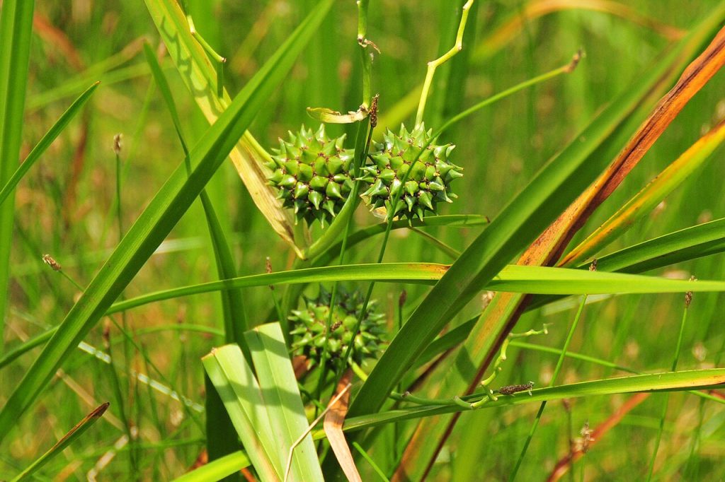
Reeds at the edge of a lake invite close attention, but a shoreline view cannot answer every question about the wider wetland.