


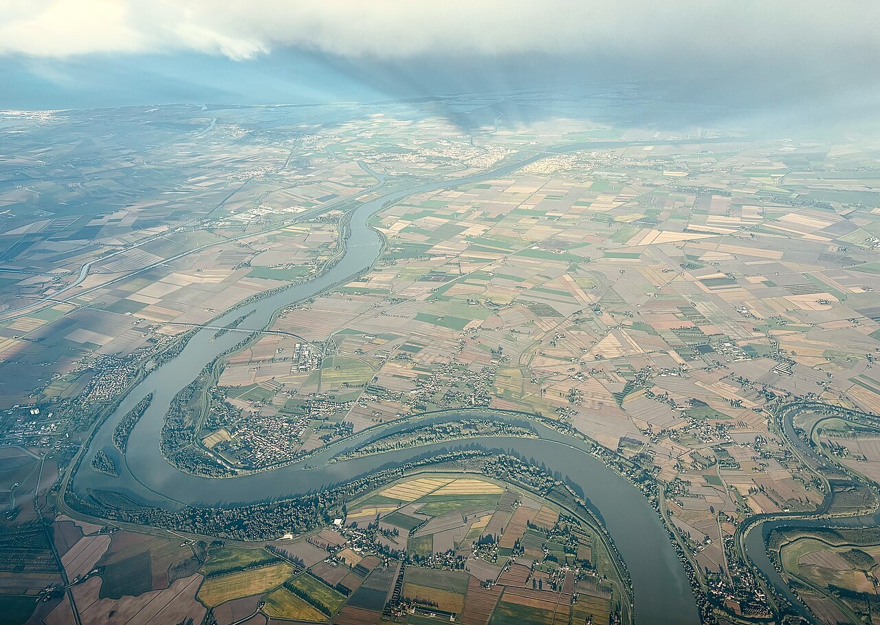

A delta changes through relationships between water, land and use. One beautiful or damaged-looking image is an incomplete explanation.
Understand the context
Ramsar material covers different wetland types, including inland and coastal environments. Water relationships and use matter in conservation assessments. Explaining change in a delta requires more than a single image; the place, timing and wider context should be retained.
Try a learning activity
- Draw a river meeting a wider body of water.
- Add questions about water movement and land use.
- Compare two photographs only after checking their dates and places.
- List missing evidence before explaining a change.
Reflect on the evidence
Compare your record with the source. Which details did you observe directly, which did you learn from the reading, and which remain uncertain? Keep those answers separate. Add the place, date and method when they are known; a short observation or a single photograph does not describe an entire landscape.
Reading source: Ramsar — Ramsar List.
Learning activity prepared by Living Heritage. Source review date retained from the original editorial record: 29 September 2026. This activity is an educational exercise, not a scientific survey or a field intervention plan.