
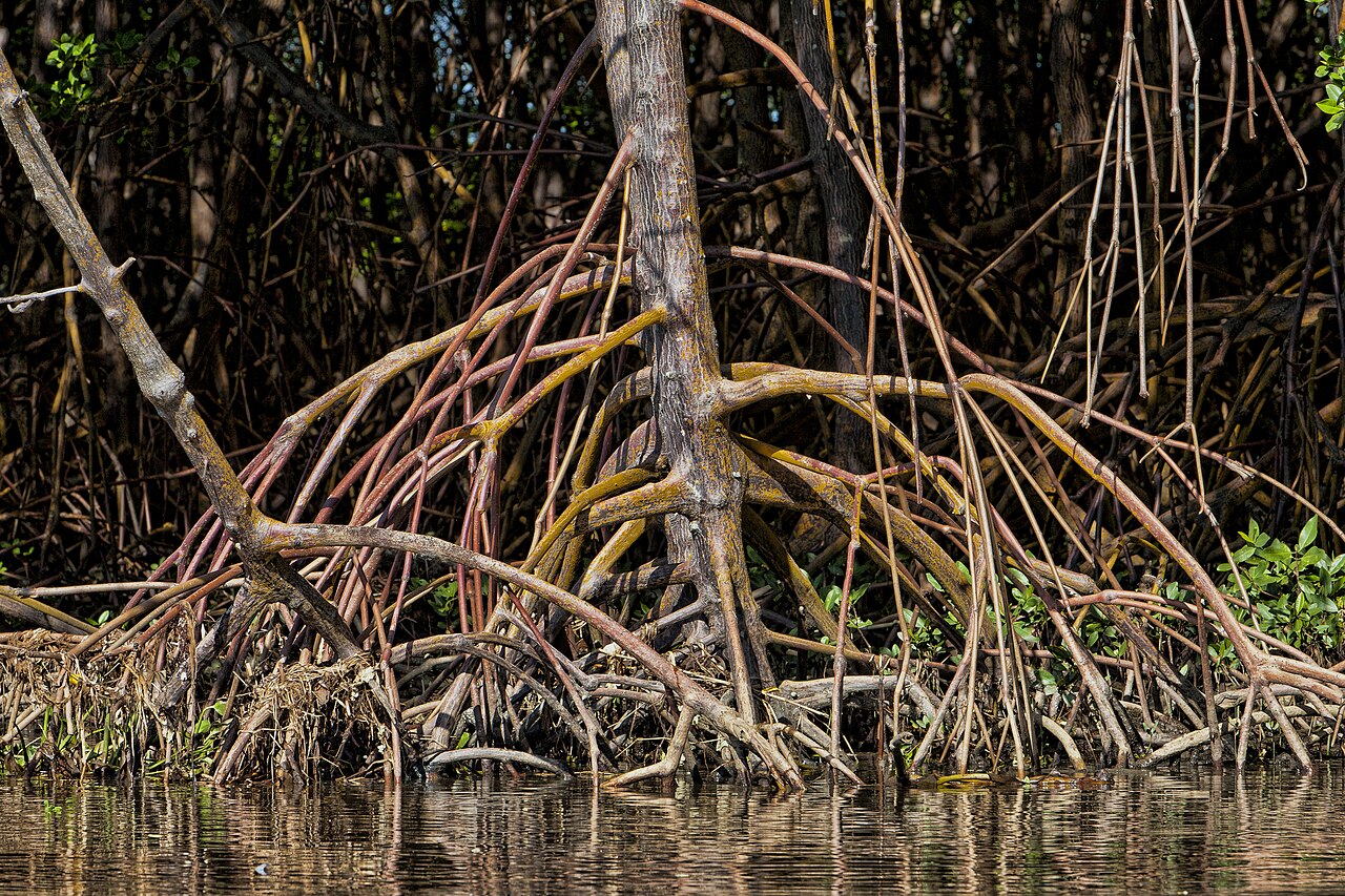

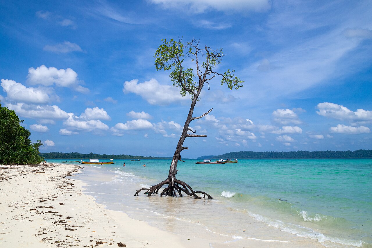

A shoreline is not a set of isolated boxes. A mangrove photograph can open questions about neighbouring coastal habitats.
Understand the context
NOAA's Florida Keys material describes mangroves as salt-tolerant coastal trees and discusses ecological connections between mangrove forests, seagrass and coral reefs. This regional example shows why adjacent habitats should not be treated as completely independent. It is not a description of every coast.
Try a learning activity
- Draw a coastline containing three neighbouring habitats.
- Add arrows for possible connections and label uncertainties.
- Compare what is visible in a root photograph with the wider sketch.
- Keep the location of the original example in your notes.
Reflect on the evidence
Compare your record with the source. Which details did you observe directly, which did you learn from the reading, and which remain uncertain? Keep those answers separate. Add the place, date and method when they are known; a short observation or a single photograph does not describe an entire landscape.
Reading source: NOAA — Mangrove Forest.
Learning activity prepared by Living Heritage. Source review date retained from the original editorial record: 29 September 2026. This activity is an educational exercise, not a scientific survey or a field intervention plan.