
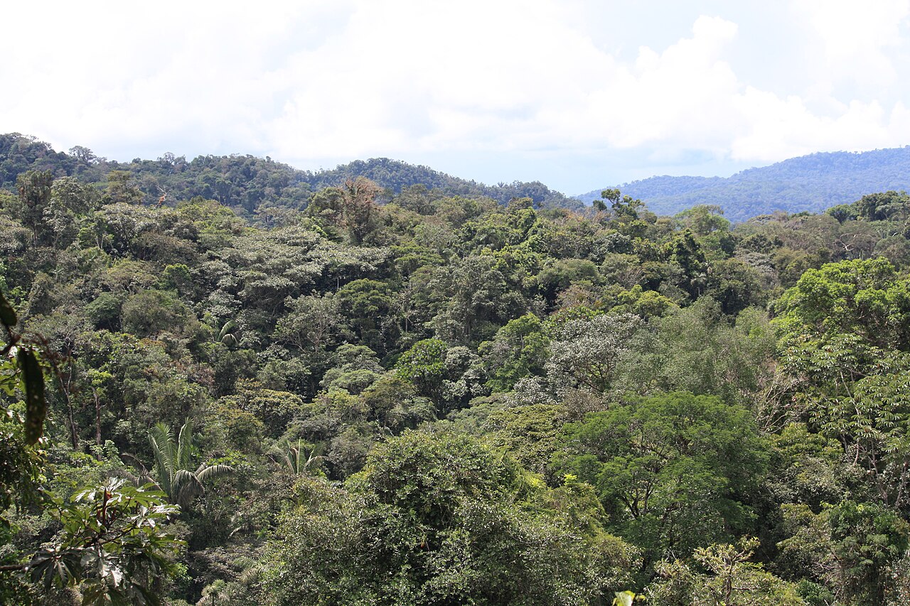


The Amazon is often represented by an uninterrupted green canopy. A closer reading asks about water, seasons and the scale of the place being described.
Understand the context
UNESCO's Central Amazon Conservation Complex description includes forests, seasonally flooded environments and aquatic ecosystems. This World Heritage property is not the whole Amazon. Information about a particular protected area should retain its boundary and scale rather than being applied to the entire basin.
Try a learning activity
- Draw forest and water areas in a landscape diagram.
- Label the boundary of the UNESCO example.
- Compare a canopy photograph with a broader satellite view.
- List questions that require seasonal rather than single-day evidence.
Reflect on the evidence
Compare your record with the source. Which details did you observe directly, which did you learn from the reading, and which remain uncertain? Keep those answers separate. Add the place, date and method when they are known; a short observation or a single photograph does not describe an entire landscape.
Reading source: UNESCO — Central Amazon Conservation Complex.
Learning activity prepared by Living Heritage. Source review date retained from the original editorial record: 29 September 2026. This activity is an educational exercise, not a scientific survey or a field intervention plan.