


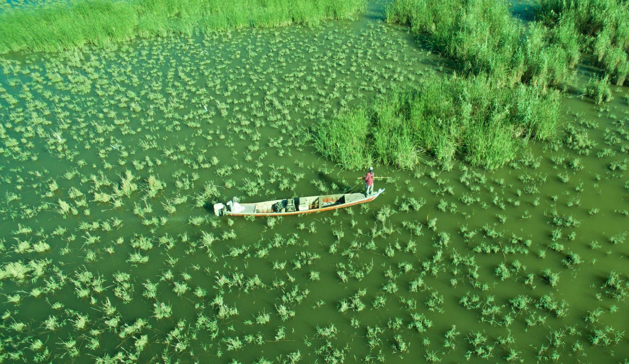

A marsh landscape can connect environmental questions with the history of settlements. A single image does not capture all these values.
Understand the context
UNESCO describes the Ahwar World Heritage property through four wetland components and three archaeological sites. Uruk, Ur and Tell Eridu are cultural components. Its structure shows how natural and cultural values can be considered together in a wider landscape.
Try a learning activity
- Make separate cards for wetland and archaeological components.
- Connect cards with questions about the wider landscape.
- Label the specific property rather than all of Iraq.
- Explain what a canal photograph can and cannot show.
Reflect on the evidence
Compare your record with the source. Which details did you observe directly, which did you learn from the reading, and which remain uncertain? Keep those answers separate. Add the place, date and method when they are known; a short observation or a single photograph does not describe an entire landscape.
Reading source: UNESCO — Ahwar of Southern Iraq.
Learning activity prepared by Living Heritage. Source review date retained from the original editorial record: 29 September 2026. This activity is an educational exercise, not a scientific survey or a field intervention plan.