

.jpg)
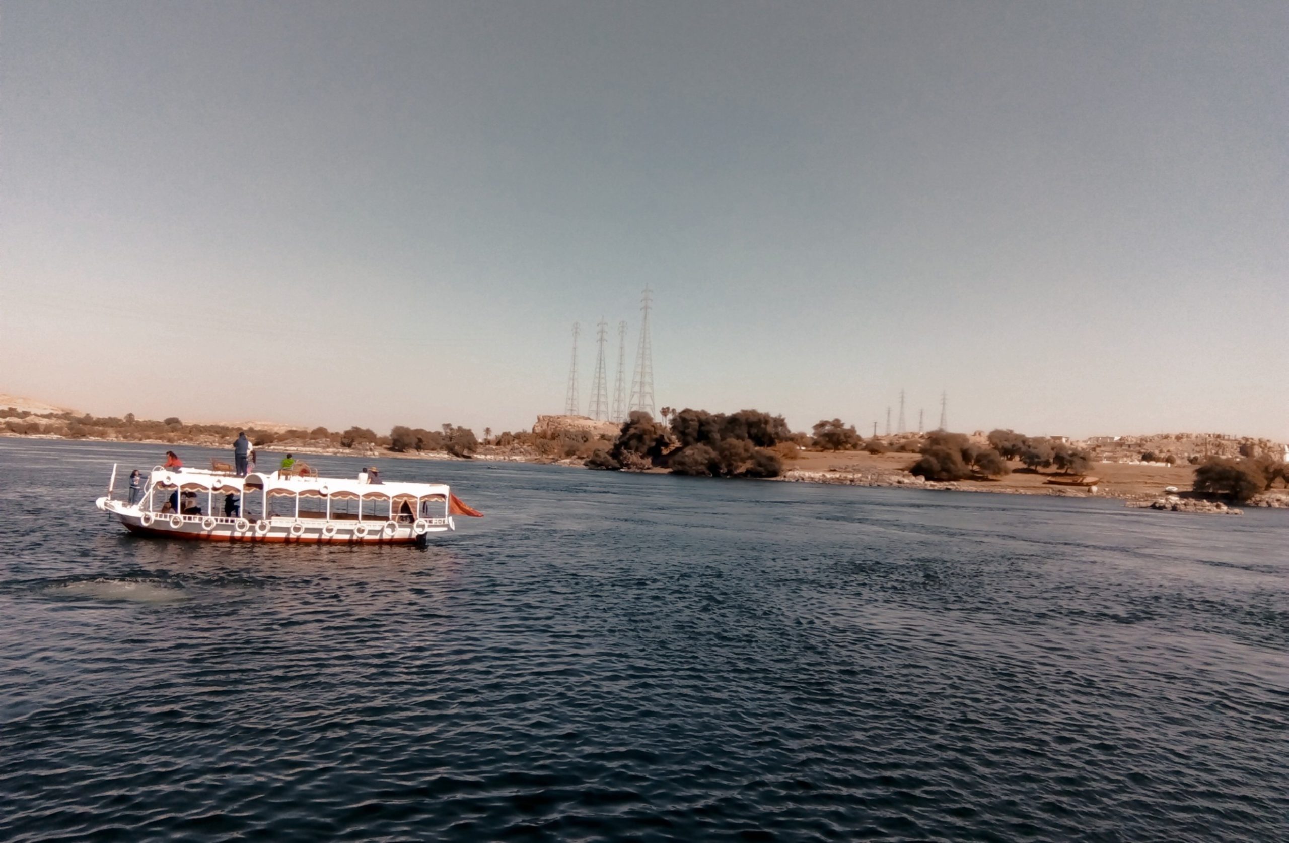
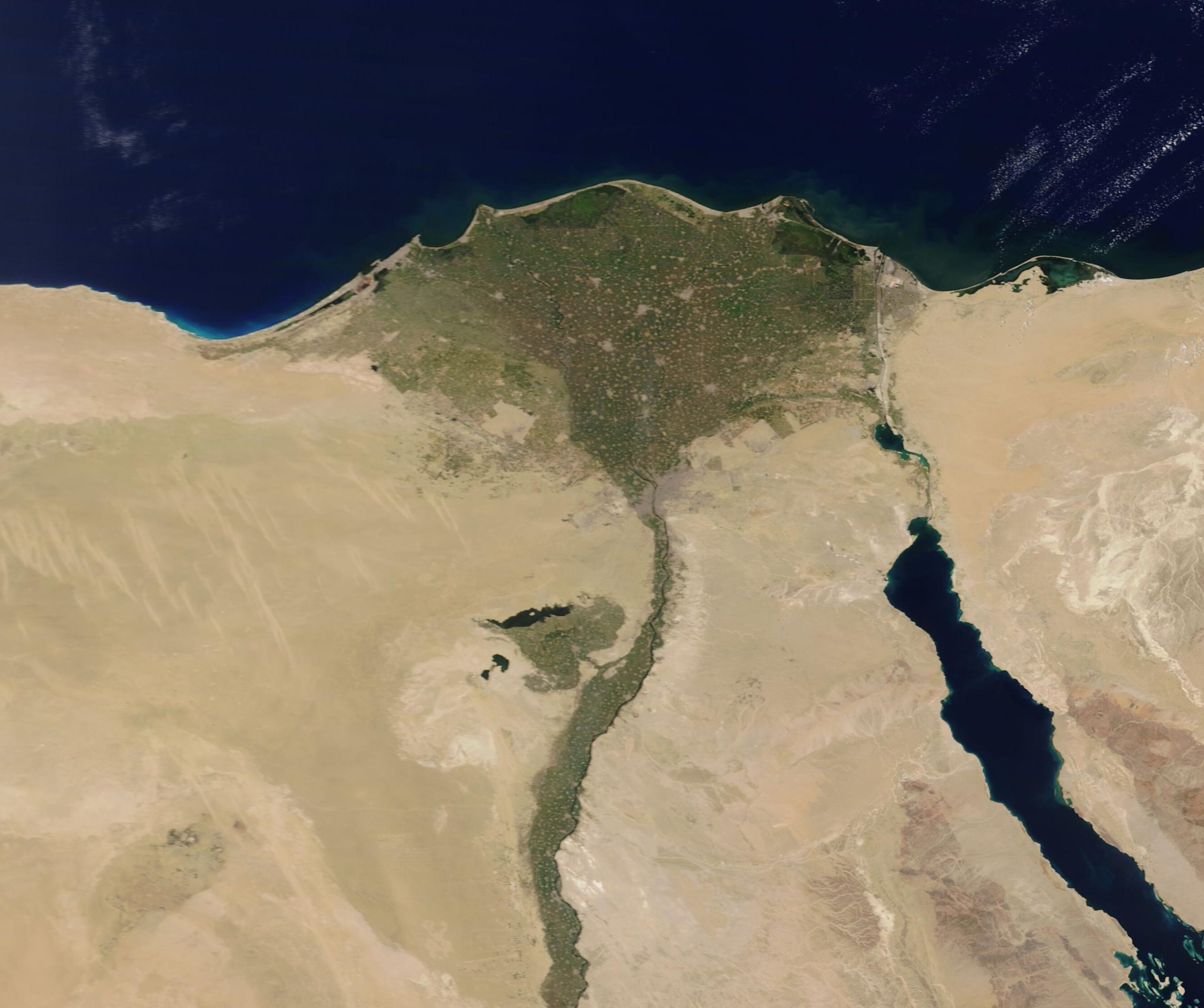
A river photograph can be a useful introduction while showing only a small section. A basin map helps place that section in a larger relationship.
Understand the context
The Nile Basin Initiative describes the Nile within a shared basin across countries. River networks, lakes, wetlands and human water use are considered together. A photograph of one reach cannot establish the water conditions of the whole basin.
Try a learning activity
- Locate the photographed reach on a reference map.
- Add lakes, tributaries and wetlands as map questions.
- Compare the scale of the photograph with the basin.
- Label which observations need information from other places or dates.
Reflect on the evidence
Compare your record with the source. Which details did you observe directly, which did you learn from the reading, and which remain uncertain? Keep those answers separate. Add the place, date and method when they are known; a short observation or a single photograph does not describe an entire landscape.
Reading source: Nile Basin Initiative — The Nile Basin.
Learning activity prepared by Living Heritage. Source review date retained from the original editorial record: 29 September 2026. This activity is an educational exercise, not a scientific survey or a field intervention plan.